GPS vs Paper Maps: Which Navigation Should You Rely On in the UK Hills?
Ask two hillwalkers on the same summit whether GPS has made paper maps redundant and you will get two confident, opposite answers. One will tap a phone screen and read out a six-figure grid reference; the other will wave a laminated Explorer and point out that batteries die. Both are right, which is why the useful question is not which tool wins, but how to use them together.
What GPS does better than anything else
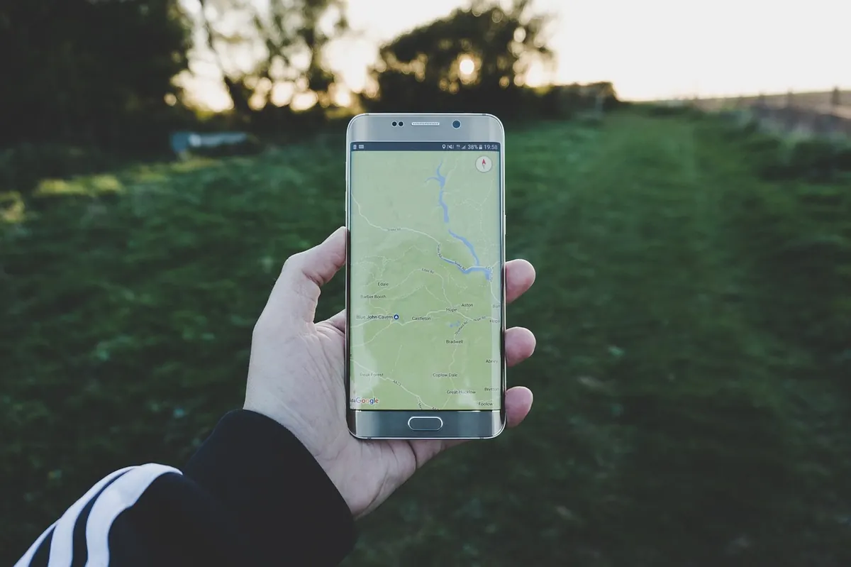
A satellite fix answers one question with ruthless precision: exactly where are you standing right now? In thick cloud on a featureless plateau, that is worth a great deal. It confirms whether you are on the path you think you are on, or on the parallel one 200 metres to the east. It gives you a grid reference to pass to mountain rescue. It logs your route so you can see later where the day went wrong, and it tells you how much climbing is left when everyone's legs are tiring.
On a dark winter descent, glancing at a phone is faster than stopping to take a bearing, and it is often more accurate than a hurried one. That is a genuine strength, not a cheat.
Where paper still wins
A map does something GPS cannot: it shows you the shape of the ground. Contours, crags, streams, forest edges, fence lines and the spacing of paths are all visible at once, and you can take in the whole day without pinching and dragging. That matters when you are deciding whether to push over a summit or drop into a valley, or when you need an escape route in a hurry.
GPS tells you where you are. It does not tell you where you should be, or how the ground between the two will feel. Zoomed in on a phone, a path junction can look straightforward; on a 1:25,000 map you can see it sits above a steep drop with no easy line off. A bearing tells you which way to walk; only the map tells you whether the slope on that bearing is grass or broken crag.
Paper is also immune to the things that stop phones working: cold, water, a cracked screen, a power bank left in the car. A map works with gloves on.
The honest limits of a phone in the British hills
Most phones will manage a full day if you treat them sensibly. That means aeroplane mode, screen brightness down, map tiles downloaded before you leave the house, and the phone carried in an inside pocket where your body heat keeps the battery happier. Cold is the biggest enemy; a phone reading 80% in a warm car park can shut down on a sleety summit.
Signal is a separate issue from GPS. Your position works perfectly well without it, but map tiles, forecasts and route downloads may not. Download the whole area you need, not just the bit around the start, and check the tiles are genuinely there by opening the app in aeroplane mode at home.
Small failures that catch people out
- An app that quietly needed a data connection for a map layer you assumed was saved.
- A downloaded area that stops a kilometre before your descent route.
- A charging cable that has been working loose for months and finally gives up.
- A phone buried in a rucksack lid, chilled and out of reach when you need it.
A working system: map first, GPS to confirm
The combination that holds up in practice treats the paper map and compass as the primary tools and the phone as a fast check.
- Plan on the map at home, at 1:25,000 where you can, and note timings, escape routes and the features you will use as handrails.
- Fold the map so the day's ground is on show, and keep it in a clear case on a cord rather than at the bottom of the pack.
- Set the map to the ground with your compass and keep it set as you walk.
- Navigate each leg with a bearing, pacing and a timing estimate: roughly four kilometres an hour on easy ground, plus about a minute for every ten metres of ascent.
- Check the phone at decision points — junctions, summits, path ends. Not every two minutes.
- Write the time and your grid reference on a small route card at each check. If the electronics fail, that log gives you a fix to work from.
Skills worth practising before you need them
Six-figure grid references, taking and following a bearing, applying grid magnetic angle (it is printed in the margin of your map), pacing 100 metres on rough ground and reading contours are the core. Add aiming off, back bearings and catching features — a wall, a stream, a track — that tell you when you have gone too far.
The easiest place to practise is a walk you already know. Navigate a familiar leg entirely by map and compass, then check the phone at the end. When the two agree, you have confirmed your technique. When they disagree, you have learned something more useful still.
The sensible default
Carry both, and be clear about which one is doing the work. Use the map for the plan, the terrain and the decisions; use GPS for the quick fix, the confirmation and the confidence boost in clag. Keep a paper map and a compass you trust even when the phone is your first reach, carry a power bank, and leave your route with someone before you set off.
If you do need help, in the UK you dial 999 and ask for the police, then mountain rescue, and a six-figure grid reference is the single most useful thing you can give them. That is a good reason to stay fluent in reading one off paper as well as off a screen. Signal in the hills is patchy and often absent in exactly the places where days go wrong, so plan your navigation as though the phone will die at the worst possible moment. Occasionally, it will.
Photo: StockSnap / Pixabay

Three Days on the West Highland Way: Trip Report and Packing Tips
A three-day fastpack of the West Highland Way, with notes on where the pace fell apart and which kit...

A Winter Ascent of Snowdon: Trip Report and Lessons Learnt
A cold, clear winter day on Yr Wyddfa via the Llanberis Path, with the kit that earned its place and the...
About Us